
Kalasin topographic map
Interactive map
Click on the map to display elevation.
About this map
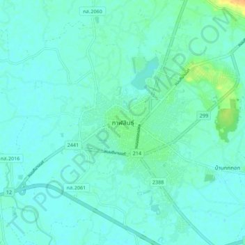
Name: Kalasin topographic map, elevation, terrain.
Location: Kalasin, Lup, Kalasin Province, Thailand (16.39403 103.46594 16.47403 103.54594)
Average elevation: 469 ft
Minimum elevation: 449 ft
Maximum elevation: 561 ft
Other topographic maps
Click on a map to view its topography, its elevation and its terrain.
Kamalasai
Kamalasai, Lak Mueang, Kalasin Province, Thailand
Average elevation: 459 ft