
Adıyaman topographic map
Interactive map
Click on the map to display elevation.
About this map
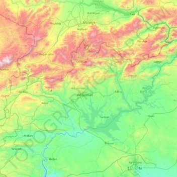
Name: Adıyaman topographic map, elevation, terrain.
Location: Adıyaman, Southeastern Anatolia Region, Turkey (37.40969 37.43597 38.20780 39.26327)
Average elevation: 3,281 ft
Minimum elevation: 1,145 ft
Maximum elevation: 9,957 ft