
Coleraine topographic map
Interactive map
Click on the map to display elevation.
About this map
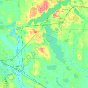
Name: Coleraine topographic map, elevation, terrain.
Location: Coleraine, Itasca County, Minnesota, 55722, United States (47.19589 -93.49843 47.32609 -93.39373)
Average elevation: 1,339 ft
Minimum elevation: 1,240 ft
Maximum elevation: 1,578 ft