
Princeton topographic map
Interactive map
Click on the map to display elevation.
About this map
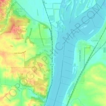
Name: Princeton topographic map, elevation, terrain.
Location: Princeton, Scott County, Iowa, United States (41.65563 -90.37420 41.69542 -90.33826)
Average elevation: 620 ft
Minimum elevation: 558 ft
Maximum elevation: 745 ft