
Gambari topographic map
Interactive map
Click on the map to display elevation.
About this map
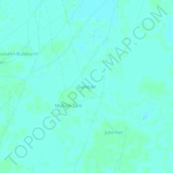
Name: Gambari topographic map, elevation, terrain.
Location: Gambari, Guzamala, Borno, Nigeria (12.87215 13.52842 12.91215 13.56842)
Average elevation: 948 ft
Minimum elevation: 942 ft
Maximum elevation: 955 ft