
Maghnia topographic map
Interactive map
Click on the map to display elevation.
About this map
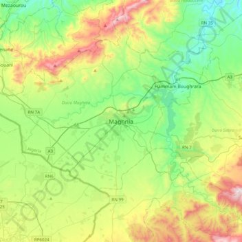
Name: Maghnia topographic map, elevation, terrain.
Location: Maghnia, daïra Maghnia, Tlemcen, 13300, Algérie (34.68720 -1.88966 35.00720 -1.56966)
Average elevation: 1,598 ft
Minimum elevation: 531 ft
Maximum elevation: 3,835 ft