
Glina topographic map
Interactive map
Click on the map to display elevation.
About this map
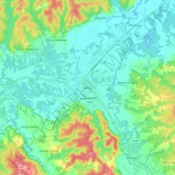
Name: Glina topographic map, elevation, terrain.
Location: Glina, Town of Glina, Sisak-Moslavina County, 44400, Croatia (45.29826 16.05079 45.37826 16.13079)
Average elevation: 433 ft
Minimum elevation: 328 ft
Maximum elevation: 709 ft