
Swatara topographic map
Interactive map
Click on the map to display elevation.
About this map
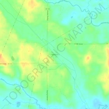
Name: Swatara topographic map, elevation, terrain.
Location: Swatara, Aitkin County, Minnesota, United States (46.87560 -93.69390 46.91560 -93.65390)
Average elevation: 1,299 ft
Minimum elevation: 1,257 ft
Maximum elevation: 1,358 ft