
Changdu topographic map
Interactive map
Click on the map to display elevation.
About this map
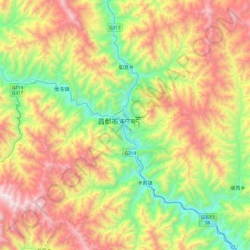
Name: Changdu topographic map, elevation, terrain.
Location: Changdu, Karuo District, Chamdo City, Tibet, China (30.97805 97.01899 31.29805 97.33899)
Average elevation: 13,212 ft
Minimum elevation: 10,374 ft
Maximum elevation: 17,211 ft