
Estero topographic map
Interactive map
Click on the map to display elevation.
About this map
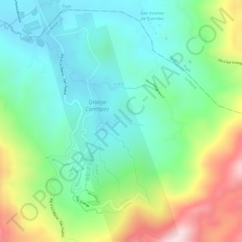
Name: Estero topographic map, elevation, terrain.
Location: Estero, La Maná, Cotopaxi, Ecuador (-0.95725 -79.18245 -0.95633 -79.17777)
Average elevation: 1,198 ft
Minimum elevation: 797 ft
Maximum elevation: 1,955 ft