
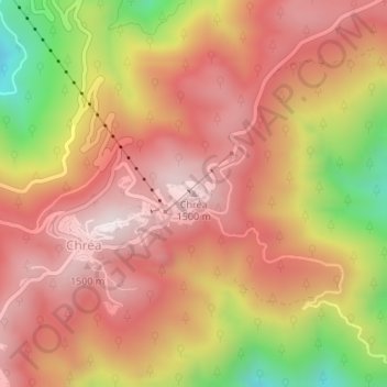
Chrea topographic map
Interactive map
Click on the map to display elevation.
About this map
Name: Chrea topographic map, elevation, terrain.
Location: Chrea, Ouled Yaich District, Blida, Algeria (36.43045 2.88615 36.43055 2.88625)
Average elevation: 4,242 ft
Minimum elevation: 2,802 ft
Maximum elevation: 5,069 ft