
Bordj Bou Arreridjj topographic map
Interactive map
Click on the map to display elevation.
About this map
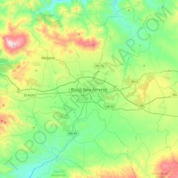
Name: Bordj Bou Arreridjj topographic map, elevation, terrain.
Average elevation: 3,182 ft
Minimum elevation: 2,228 ft
Maximum elevation: 5,531 ft