
Brownton topographic map
Interactive map
Click on the map to display elevation.
About this map
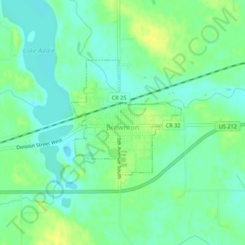
Name: Brownton topographic map, elevation, terrain.
Location: Brownton, McLeod County, Minnesota, United States (44.72629 -94.36017 44.73861 -94.34059)
Average elevation: 1,030 ft
Minimum elevation: 1,001 ft
Maximum elevation: 1,066 ft