
Huttingen topographic map
Interactive map
Click on the map to display elevation.
About this map
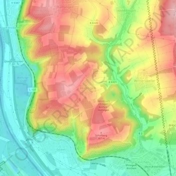
Name: Huttingen topographic map, elevation, terrain.
Location: Huttingen, Landkreis Lörrach, Baden-Württemberg, 79588, Germany (47.65249 7.52874 47.69249 7.56874)
Average elevation: 1,007 ft
Minimum elevation: 719 ft
Maximum elevation: 1,322 ft