
Warren topographic map
Interactive map
Click on the map to display elevation.
About this map
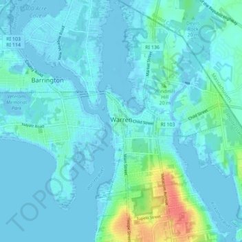
Name: Warren topographic map, elevation, terrain.
Location: Warren, Bristol County, Rhode Island, 02885, United States (41.69824 -71.29111 41.76162 -71.22546)
Average elevation: 20 ft
Minimum elevation: -23 ft
Maximum elevation: 154 ft
Other topographic maps
Click on a map to view its topography, its elevation and its terrain.
Barrington
United States > Rhode Island > Bristol County
Barrington, Bristol County, Rhode Island, 02806, United States
Average elevation: 13 ft
Bristol
United States > Rhode Island > Bristol County
Bristol, Bristol County, Rhode Island, 02809, United States
Average elevation: 20 ft