
Ceceda topographic map
Interactive map
Click on the map to display elevation.
About this map
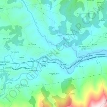
Name: Ceceda topographic map, elevation, terrain.
Location: Ceceda, Asturias, España (43.33914 -5.46581 43.37914 -5.42581)
Average elevation: 912 ft
Minimum elevation: 568 ft
Maximum elevation: 2,326 ft