
Wallis and Futuna topographic map
Interactive map
Click on the map to display elevation.
About this map
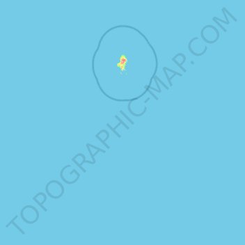
Name: Wallis and Futuna topographic map, elevation, terrain.
Location: Wallis and Futuna, France (-14.36218 -178.18175 -13.18324 -176.12479)
Average elevation: 0 ft
Minimum elevation: 0 ft
Maximum elevation: 440 ft
Other topographic maps
Click on a map to view its topography, its elevation and its terrain.
Mata Utu
France > Wallis and Futuna > Uvea
Mata Utu, Uvea, Wallis and Futuna, 98600, France
Average elevation: 82 ft