
Shengle topographic map
Interactive map
Click on the map to display elevation.
About this map
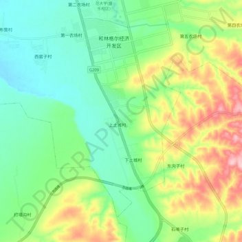
Name: Shengle topographic map, elevation, terrain.
Location: Shengle, Horinger County, Hohhot City, Inner Mongolia, China (40.41077 111.74857 40.49077 111.82857)
Average elevation: 3,757 ft
Minimum elevation: 3,540 ft
Maximum elevation: 4,167 ft