
شهرک مهدیه topographic map
Interactive map
Click on the map to display elevation.
About this map
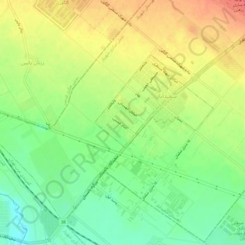
Name: شهرک مهدیه topographic map, elevation, terrain.
Location: شهرک مهدیه, سعیدآباد, Shahriar County, 3313136617, Iran (35.64263 51.15775 35.68263 51.19775)
Average elevation: 3,714 ft
Minimum elevation: 3,619 ft
Maximum elevation: 3,812 ft