
Tindouf topographic map
Interactive map
Click on the map to display elevation.
About this map
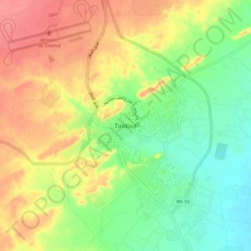
Name: Tindouf topographic map, elevation, terrain.
Location: Tindouf, Daïra Tindouf, Tindouf, 37100, Algérie (27.63184 -8.17973 27.71184 -8.09973)
Average elevation: 1,358 ft
Minimum elevation: 1,247 ft
Maximum elevation: 1,480 ft