
Kanchipuram topographic map
Interactive map
Click on the map to display elevation.
About this map
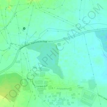
Name: Kanchipuram topographic map, elevation, terrain.
Average elevation: 105 ft
Minimum elevation: 82 ft
Maximum elevation: 135 ft
The Palar river is the most important river running through the district. Through most of the year it remains dry, attributed to the construction of dams across the river in Andhra Pradesh. There are only a few hills of considerable elevation in the district. The southern part of Maduranthakam taluk contains small hills. The total forest area in the district is 23,586 hectares.