
Kg Perak topographic map
Interactive map
Click on the map to display elevation.
About this map
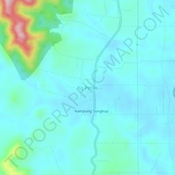
Name: Kg Perak topographic map, elevation, terrain.
Location: Kg Perak, Kuala Muda, Kedah, 08010, Malaysia (5.70790 100.61017 5.74790 100.65017)
Average elevation: 167 ft
Minimum elevation: 52 ft
Maximum elevation: 820 ft