
Bad Hersfeld topographic map
Interactive map
Click on the map to display elevation.
About this map
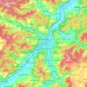
Name: Bad Hersfeld topographic map, elevation, terrain.
Average elevation: 1,004 ft
Minimum elevation: 627 ft
Maximum elevation: 1,608 ft
The Flugplatz Johannesberg has the status of Special Airfield. The runway, some 671 m long and 18 m wide, is paved with asphalt and oriented in a north-south direction. The airfield lies on the Johannesberg in the like-named outlying centre at an elevation of 284 m above sea level.