
Athos topographic map
Interactive map
Click on the map to display elevation.
About this map
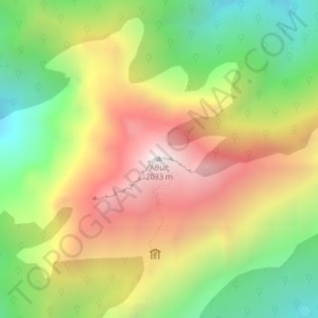
Name: Athos topographic map, elevation, terrain.
Location: Athos, Autonomous Monastic State of the Holy Mountain, Greece (40.15837 24.32721 40.15847 24.32731)
Average elevation: 4,255 ft
Minimum elevation: 2,159 ft
Maximum elevation: 6,585 ft