
Cerrigydrudion topographic map
Interactive map
Click on the map to display elevation.
About this map
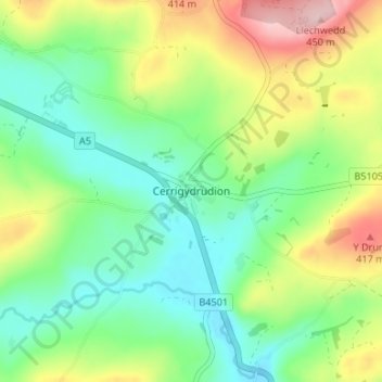
Name: Cerrigydrudion topographic map, elevation, terrain.
Location: Cerrigydrudion, Conwy, Wales, LL21 9UE, United Kingdom (53.00523 -3.58036 53.04523 -3.54036)
Average elevation: 1,050 ft
Minimum elevation: 814 ft
Maximum elevation: 1,486 ft