
Long Aton topographic map
Interactive map
Click on the map to display elevation.
About this map
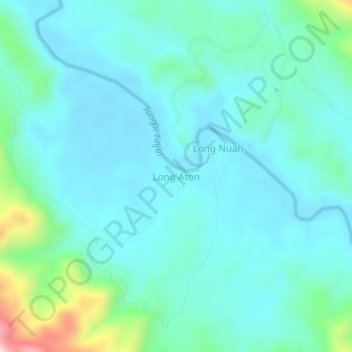
Name: Long Aton topographic map, elevation, terrain.
Location: Long Aton, Sarawak, Malaysia (3.23166 114.32481 3.27166 114.36481)
Average elevation: 285 ft
Minimum elevation: 66 ft
Maximum elevation: 1,329 ft