
Cheraw topographic map
Interactive map
Click on the map to display elevation.
About this map
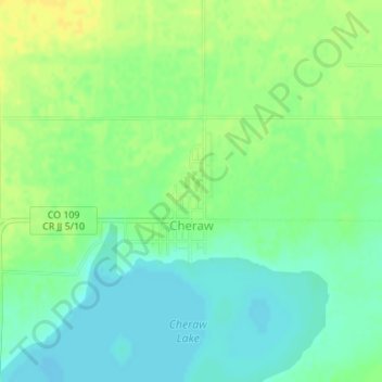
Name: Cheraw topographic map, elevation, terrain.
Location: Cheraw, Otero County, Colorado, 81030, United States (38.10479 -103.51614 38.11392 -103.50682)
Average elevation: 4,134 ft
Minimum elevation: 4,101 ft
Maximum elevation: 4,170 ft
Other topographic maps
Click on a map to view its topography, its elevation and its terrain.
Fowler
United States > Colorado > Otero County
Fowler, Otero County, Colorado, United States
Average elevation: 4,334 ft
La Junta
United States > Colorado > Otero County > La Junta
La Junta, Otero County, Colorado, 81050, United States
Average elevation: 4,137 ft
La Junta
United States > Colorado > Otero County
La Junta, Otero County, Colorado, 81050, United States
Average elevation: 4,147 ft