
Puntas topographic map
Interactive map
Click on the map to display elevation.
About this map
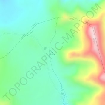
Name: Puntas topographic map, elevation, terrain.
Location: Puntas, Cuyuja, Quijos, Napo, Ecuador (-0.25005 -78.10005 -0.24995 -78.09995)
Average elevation: 12,838 ft
Minimum elevation: 12,411 ft
Maximum elevation: 13,645 ft