
Pangan topographic map
Interactive map
Click on the map to display elevation.
About this map
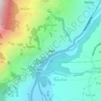
Name: Pangan topographic map, elevation, terrain.
Location: Pangan, Manali, Kullu, Himachal Pradesh, India (32.14950 77.15900 32.15155 77.16209)
Average elevation: 5,997 ft
Minimum elevation: 4,990 ft
Maximum elevation: 8,976 ft