
El Regadío topographic map
Interactive map
Click on the map to display elevation.
About this map
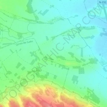
Name: El Regadío topographic map, elevation, terrain.
Location: El Regadío, Híjar, Teruel, Aragón, 44530, España (41.18846 -0.49352 41.20846 -0.47352)
Average elevation: 906 ft
Minimum elevation: 820 ft
Maximum elevation: 1,109 ft