
Moore topographic map
Interactive map
Click on the map to display elevation.
About this map
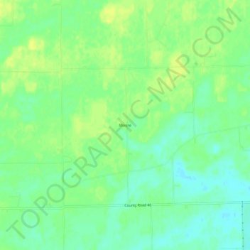
Name: Moore topographic map, elevation, terrain.
Location: Moore, DeKalb County, Indiana, United States (41.37699 -84.97246 41.41699 -84.93246)
Average elevation: 876 ft
Minimum elevation: 843 ft
Maximum elevation: 902 ft