
Illahe topographic map
Interactive map
Click on the map to display elevation.
About this map
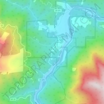
Name: Illahe topographic map, elevation, terrain.
Location: Illahe, Curry County, Oregon, United States (42.60872 -124.07759 42.64872 -124.03759)
Average elevation: 889 ft
Minimum elevation: 121 ft
Maximum elevation: 2,703 ft