
Nahal Sorek Regional Council topographic map
Interactive map
Click on the map to display elevation.
About this map
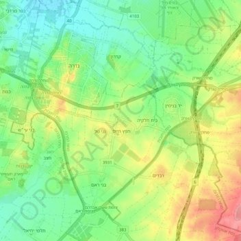
Name: Nahal Sorek Regional Council topographic map, elevation, terrain.
Location: Nahal Sorek Regional Council, Center District, Israel (31.75736 34.77202 31.82756 34.87180)
Average elevation: 220 ft
Minimum elevation: 105 ft
Maximum elevation: 400 ft
Other topographic maps
Click on a map to view its topography, its elevation and its terrain.
Yad Binyamin
Israel > Center District > Nahal Sorek Regional Council
Yad Binyamin, Nahal Sorek Regional Council, Rehovot Subdistrict, Center District, Israel
Average elevation: 226 ft