
Zoar topographic map
Interactive map
Click on the map to display elevation.
About this map
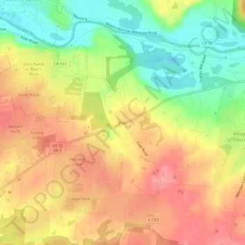
Name: Zoar topographic map, elevation, terrain.
Location: Zoar, Warren County, Ohio, 45065, United States (39.33089 -84.21160 39.37089 -84.17160)
Average elevation: 758 ft
Minimum elevation: 600 ft
Maximum elevation: 879 ft