
Sandema topographic map
Interactive map
Click on the map to display elevation.
About this map
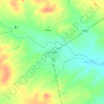
Name: Sandema topographic map, elevation, terrain.
Location: Sandema, Builsa North District, Upper East Region, Ghana (10.69538 -1.32672 10.77538 -1.24672)
Average elevation: 600 ft
Minimum elevation: 518 ft
Maximum elevation: 728 ft