
Naguabo topographic map
Interactive map
Click on the map to display elevation.
About this map
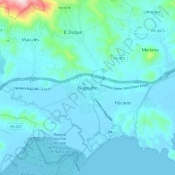
Name: Naguabo topographic map, elevation, terrain.
Location: Naguabo, Puerto Rico, 00718, United States (18.17208 -65.77532 18.25208 -65.69532)
Average elevation: 177 ft
Minimum elevation: -7 ft
Maximum elevation: 1,900 ft