
Tarimoro topographic map
Interactive map
Click on the map to display elevation.
About this map
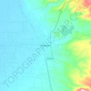
Name: Tarimoro topographic map, elevation, terrain.
Location: Tarimoro, Guanajuato, 38700, México (20.24670 -100.79518 20.32670 -100.71518)
Average elevation: 6,047 ft
Minimum elevation: 5,771 ft
Maximum elevation: 7,556 ft