
Barbarroja topographic map
Interactive map
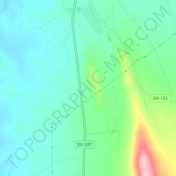
Click on the map to display elevation.
About this map
Name: Barbarroja topographic map, elevation, terrain.
Average elevation: 928 ft
Minimum elevation: 771 ft
Maximum elevation: 1,421 ft
Other topographic maps
Click on a map to view its topography, its elevation and its terrain.
Villarreal
España > Extremadura > Olivenza > Villarreal
Villarreal, Olivenza, Llanos de Olivenza, Badajoz, Extremadura, España
Average elevation: 571 ft