
La Salceda topographic map
Interactive map
Click on the map to display elevation.
About this map
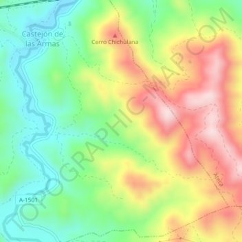
Name: La Salceda topographic map, elevation, terrain.
Location: La Salceda, Castejón de las Armas, Zaragoza, Aragón, España (41.29045 -1.80947 41.31045 -1.78947)
Average elevation: 2,431 ft
Minimum elevation: 1,952 ft
Maximum elevation: 3,054 ft