
Prentiss topographic map
Interactive map
Click on the map to display elevation.
About this map
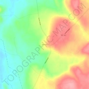
Name: Prentiss topographic map, elevation, terrain.
Location: Prentiss, Penobscot County, Maine, United States of America (45.47173 -68.10168 45.51173 -68.06168)
Average elevation: 502 ft
Minimum elevation: 328 ft
Maximum elevation: 689 ft