
Dlebta topographic map
Interactive map
Click on the map to display elevation.
About this map
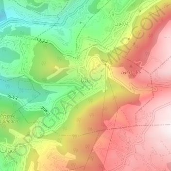
Name: Dlebta topographic map, elevation, terrain.
Location: Dlebta, Keserwan District, Mount Lebanon Governorate, Lebanon (34.00093 35.67471 34.01689 35.70566)
Average elevation: 2,730 ft
Minimum elevation: 1,247 ft
Maximum elevation: 4,147 ft
Dlebta (Arabic: دلبتا; also spelled Delebteh) is a village and municipality located in the Keserwan District of the Mount Lebanon Governorate in Lebanon. The village is 26 kilometres (16 mi) north of Beirut. It has an average elevation of 670 meters above sea level and a total land area of 323 hectares. Dlebta's inhabitants are Maronite Catholics and other Christians.