
Bétera topographic map
Interactive map
Click on the map to display elevation.
About this map
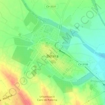
Name: Bétera topographic map, elevation, terrain.
Location: Bétera, el Camp de Túria, Valencia, 46117, Spanje (39.58271 -0.46774 39.59775 -0.45108)
Average elevation: 322 ft
Minimum elevation: 236 ft
Maximum elevation: 443 ft