
Pūces topographic map
Interactive map
Click on the map to display elevation.
About this map
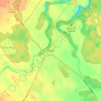
Name: Pūces topographic map, elevation, terrain.
Location: Pūces, Kandavas novads, Latvia (56.94233 22.59864 56.98233 22.63864)
Average elevation: 253 ft
Minimum elevation: 184 ft
Maximum elevation: 302 ft