
Plitvice Lakes National Park topographic map
Interactive map
Click on the map to display elevation.
About this map
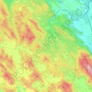
Name: Plitvice Lakes National Park topographic map, elevation, terrain.
Average elevation: 2,510 ft
Minimum elevation: 932 ft
Maximum elevation: 5,371 ft
The 16 lakes are separated into an upper and lower cluster formed by runoff from the mountains, descending from an altitude of 636 to 503 m (2,087 to 1,650 ft) over a distance of some 8 kilometres (5.0 mi), aligned in a south–north direction. The lakes collectively cover an area of about 0.77 square miles, the water exiting from the lowest lake forming the Korana River.