
Embalse de Alcántara topographic map
Interactive map
Click on the map to display elevation.
About this map
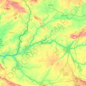
Name: Embalse de Alcántara topographic map, elevation, terrain.
Location: Embalse de Alcántara, Acehúche, Cáceres, Extremadura, España (39.57506 -6.88775 39.94775 -5.98682)
Average elevation: 1,099 ft
Minimum elevation: 374 ft
Maximum elevation: 2,641 ft