
Egilsstaðir topographic map
Interactive map
Click on the map to display elevation.
About this map
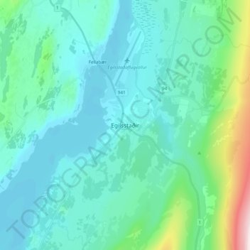
Name: Egilsstaðir topographic map, elevation, terrain.
Location: Egilsstaðir, Fljótsdalshérað, Eastern Region, 700, Iceland (65.22204 -14.44353 65.30204 -14.36353)
Average elevation: 325 ft
Minimum elevation: 36 ft
Maximum elevation: 1,929 ft