
Tangerine topographic map
Interactive map
Click on the map to display elevation.
About this map
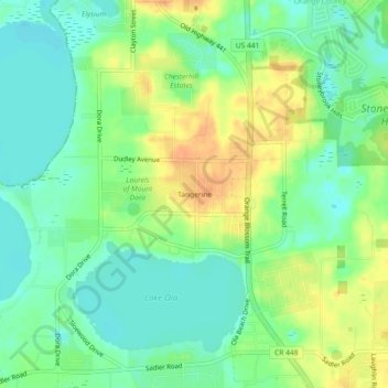
Name: Tangerine topographic map, elevation, terrain.
Location: Tangerine, Orange County, Florida, 32777, United States (28.74525 -81.65085 28.78525 -81.61085)
Average elevation: 105 ft
Minimum elevation: 52 ft
Maximum elevation: 171 ft