
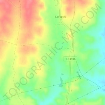
El Indio topographic map
Interactive map
Click on the map to display elevation.
About this map
Name: El Indio topographic map, elevation, terrain.
Location: El Indio, Niebla, El Condado, Huelva, Andalusia, Spain (37.39062 -6.69470 37.41062 -6.67470)
Average elevation: 262 ft
Minimum elevation: 138 ft
Maximum elevation: 387 ft
Other topographic maps
Click on a map to view its topography, its elevation and its terrain.
Cabezo del Majadillo Frío
Cabezo del Majadillo Frío, Niebla, El Condado, Huelva, Andalusia, Spain
Average elevation: 479 ft