
Santa Rosa de Sucumbíos topographic map
Interactive map
Click on the map to display elevation.
About this map
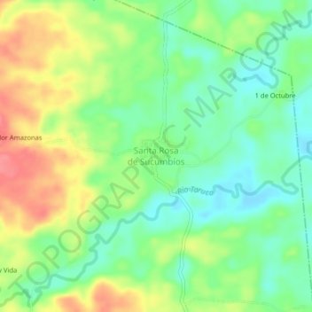
Name: Santa Rosa de Sucumbíos topographic map, elevation, terrain.
Location: Santa Rosa de Sucumbíos, Cantón Cascales, Sucumbíos, Ecuador (0.15680 -77.14406 0.19680 -77.10406)
Average elevation: 1,191 ft
Minimum elevation: 1,093 ft
Maximum elevation: 1,325 ft