
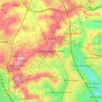
Chipping Barnet topographic map
Interactive map
Click on the map to display elevation.
About this map
Name: Chipping Barnet topographic map, elevation, terrain.
Average elevation: 312 ft
Minimum elevation: 118 ft
Maximum elevation: 482 ft
Its name is very often abbreviated to just Barnet, which is also the name of the borough of which it forms a part; the town has been part of Greater London since 1965 after the abolition of Barnet Urban District in Hertfordshire. Chipping Barnet is also the name of the Parliamentary constituency covering the local area – the word "Chipping" denotes the presence of a market, one that was established here at the end of the 12th century and persists to this day. Chipping Barnet is one of the highest urban settlements in London, with the town centre having an elevation of about 427 feet (130 m).